|
Geographical Location of Garoi Ashram
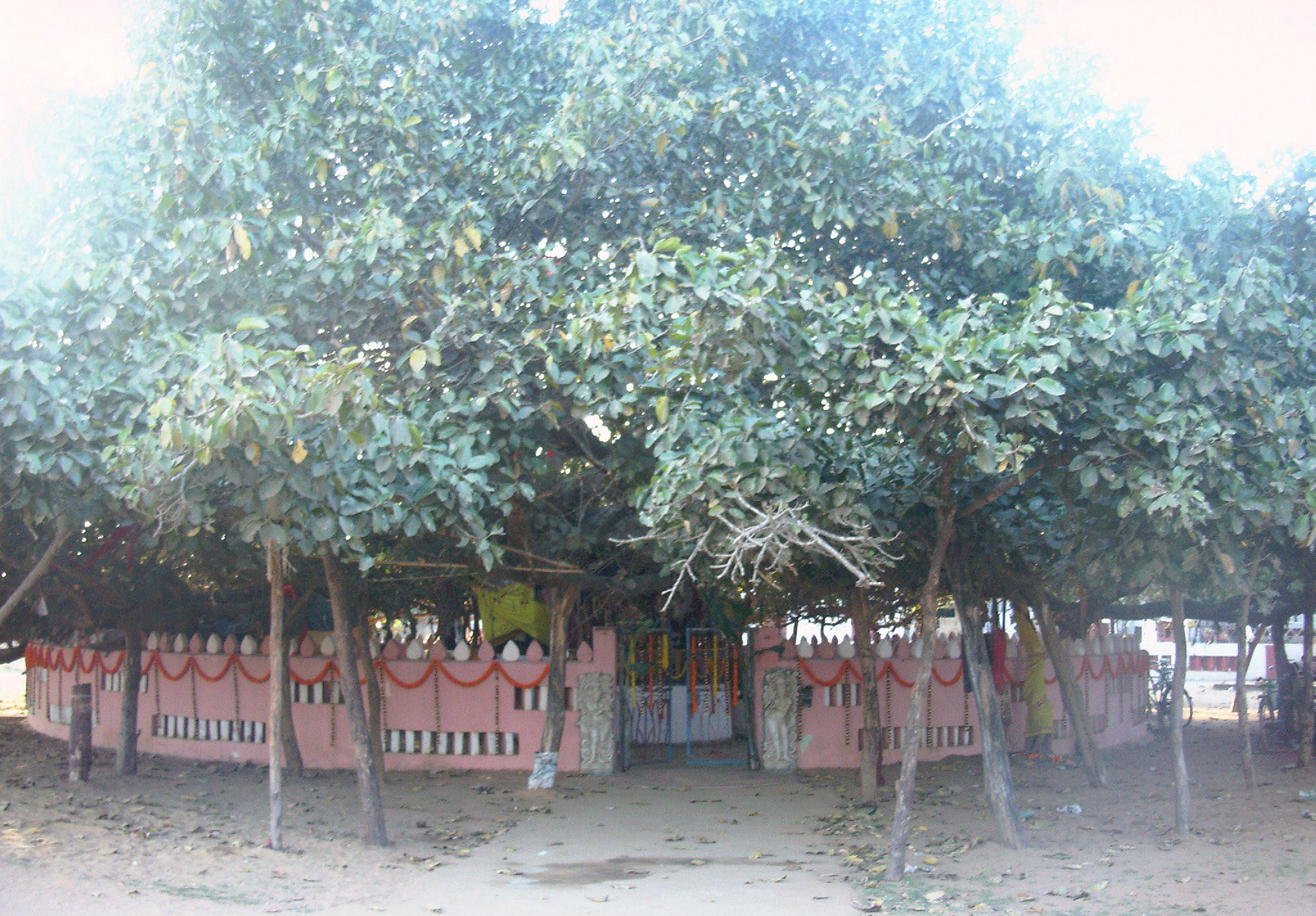
Sweta Bata of ShriAchyuta (Banyan tree with whitish fruit): represents Satya Yuga
Satye Hari Naama, Tretaya Shri Raama, Dwaapare Gopinka Dikhyaa
Aau Parama-Dayaalu Yogi-Purusa se, Bhaktanku karanti rakhyaa ...
He took the name Hari in Satya, Shri Raama in Tretaya,
and in Dwaapara his name was Gopis' only knowledge,
And being extremely kind and merciful, he protects the eternal devotees in every age ...
(lines extracted from this song)
Garoi is situated in the Jagatsinghpur district of Odishā (Orissa), which is a state in the eastern part of India. The Geographical Coordinates in Degree, Minute, and Second of the nearest
relatively-known village - Māchhagān, which is about 9 km from the village of Garoi are:
The following diagrams show the location of country, state, district, and exact location of this relatively less known village. The following image shows location of the state of Orissa, within India:
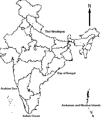
Location of the state of Orissa, within India.
The following image shows the location of the district of Jagatsinghpur, within Orissa:
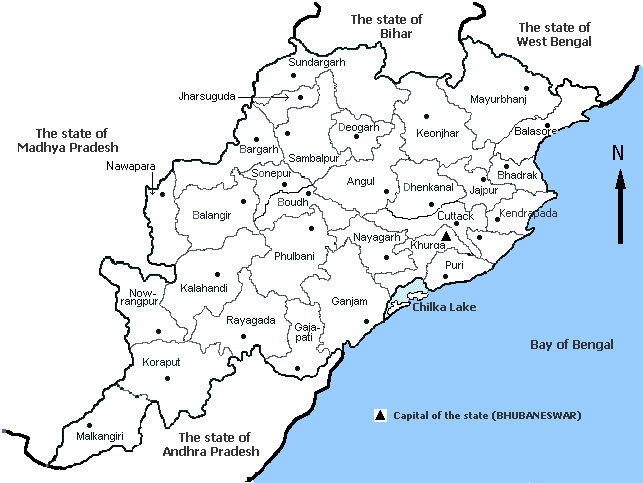
Location of the district of Jagatsinghpur, within Orissa.
The following image shows the location of Māchhagān within the district of Jagatsinghpur. The village "Garoi" (shown in red color) is about 10 kms (land-route distance)
from Māchhagān and is at the confluence of the rivers Gobari and Devi:
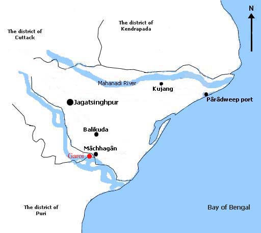
Location of Garoi within the district of Jagatsinghpur.
|