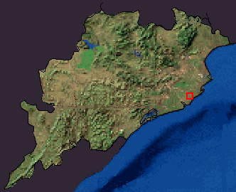
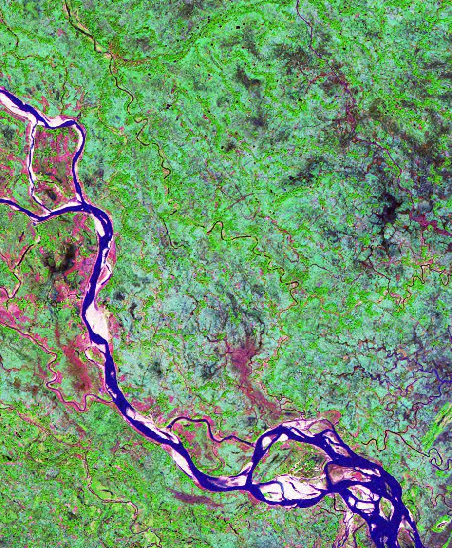
Satellite image over Garoi and the sorrounding
Siali Lata
Siali Latā (botanical n. Phanera_vahlii): represents Dwāpar Yuga
[This represents a secret sutra linked to Shri Krushna'a leaving of body and the log of wood reaching Purva Pārābāra (east coast) from Paschima Pārābara (west coast)]

Chaitanya hoile Nāma Jāchi Dele, aau Krusna Nāma Dele Sikhyā,
Aau Shri Chaitanya Nāma Japile Uttama, Bhaktanku Kariba Rakhyā ...

He became Chaitanya and gave Krusna Nāma as the ultimate teaching,
And if Shri Chaitanya name is perfectly chanted, he will save devotees from falling ...

(lines extracted from this song)

Before viewing this page, please visit the Garoi Location page in order to get acquainted with the location.

The following image shows an overview of the State of Orissa from the Landsat satellite. The picture is a mosaic from various images taken by the sensor on the Landsat satellite. The image size is compressed 36 times, to have this bird's-eye view, that can also be fitted to this web-page:
Satellite picture of the state of Orissa, within India.

Bird's eye view of Orissa from Ladsat satellite data (mosaic).
North direction is towards top.


The area inside blinking red rectangle is shown below. The following image is compressed 4 times (2 x 2 in each side) to fit the viewing-browser. A link is provided below the image to get a bigger image (uncompressed JPG format. The uncompressed image is about 462 Kb in size). The "Māchhagān" village is annotated on the imagery in red (text in black).

The area around Māchhagān" village. North direction is towards top. [click for a larger image]

Upper Left Lat:20° 14' 07.2" N Long:86° 07' 47.7" E; Lower Right Lat:19° 59' 35.8" N Long:86° 22' 41.0" E Width:25km.


The image is compressed ~4 times. Please click here to get a larger uncompressed image. The pixel size in the full-resoultion uncompressed image is about 28.5 mts x 28.5 mts.

Acknowledgements (related to the satellite image): The satellite image was extracted from data provided throught the "Landsat project" of NASA. The data is provided free-of-cost. The use of this data is fully acknowledged here and is solely for non-commercial purposes (to provide the reader an idea about the location of the Ashram). The use (including display, copying this image and demonstrating somewhere else, or whatever other purpose) of this image requires an acknowledgement to the original source (NASA Geocover Landsat project).