|
Satellite image over Kakatpur and the sorrounding
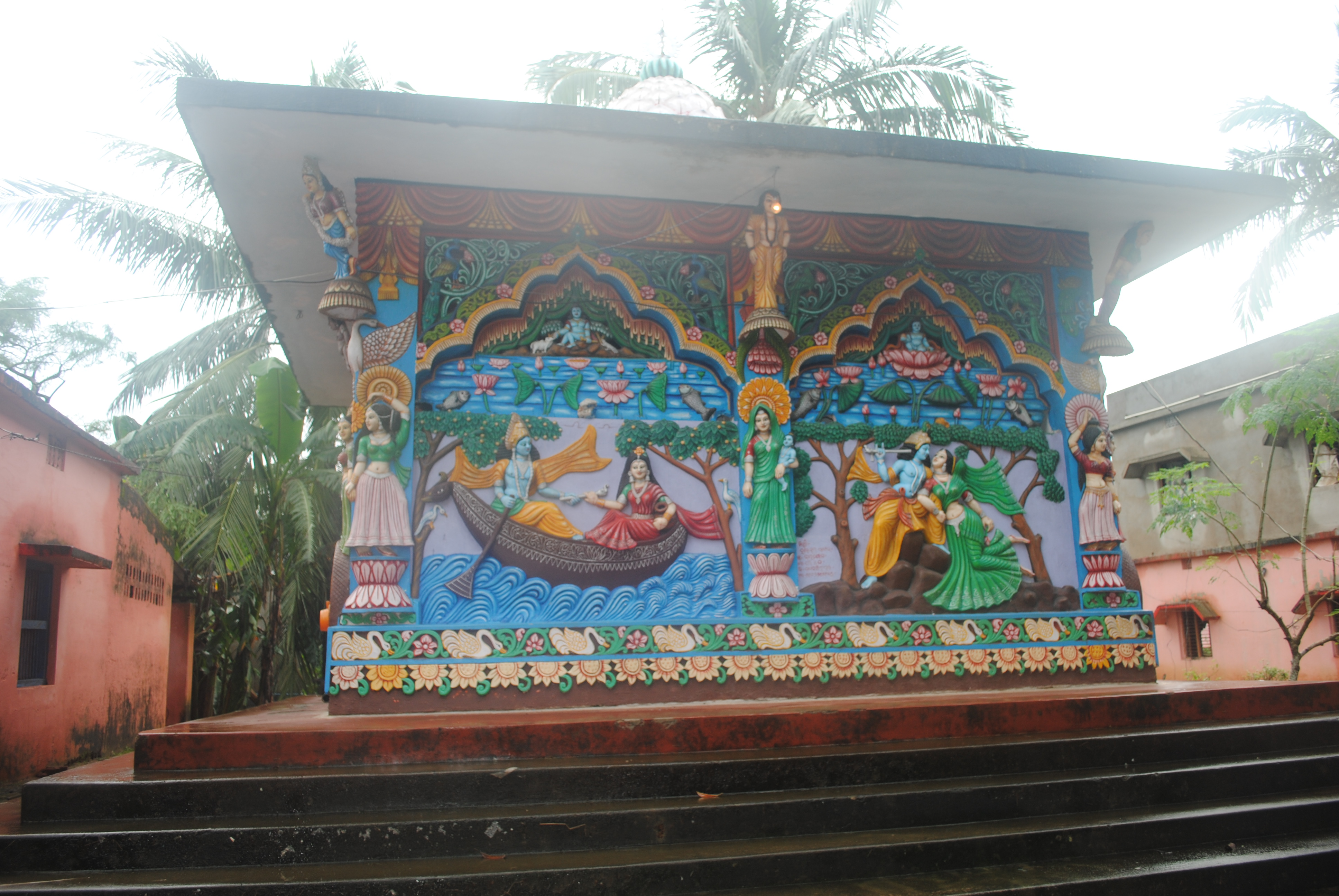
Sculptured wall at the Kakatpur Pothi Ashram
Simaanta madhye rahi achhi khela, Shakti parichaya helani bela
Shilaa madhyare sarba acchi rahi, yugaku yugaku se khela karai
Aau pancha bhutta pancha yuga hoiba ... Adinare je malaya bahiba ...
Akaalare shilaa heba je brusti ... Shunya mandale se rathi maruchhi ...
Jaga jagi khela paain je ...
Aau epatu maarile sepatee chindiba, kehi na paaribe jani je ...
Within and near the border stays the game, its about time that the power is revealed
Inside that stone is everything, from eras till eras he makes the game
And five elements will bring the fifth Yuga ... on undue days the wind will blow ...
Untimely the stones will shower, In Shunya mandala, He the brave is now desperate ...
For this secret game ...
And when shooted from this side, that will fall on that side, no one will realize the secret game ...
(lines extracted from this song)
Before viewing this page, please visit the Kakatpur Pothi Ashram Location page in order to get acquainted with the location.
The following image shows an overview of the State of Orissa from the Landsat satellite. The picture is a mosaic from various
images taken by the sensor on the Landsat satellite. The image size is compressed 36 times, to have this bird's-eye view, that can also be fitted to this web-page:
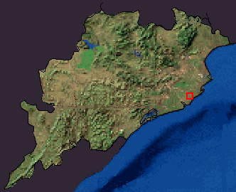
Bird's eye view of Orissa from Ladsat satellite data (mosaic).
North direction is towards top.
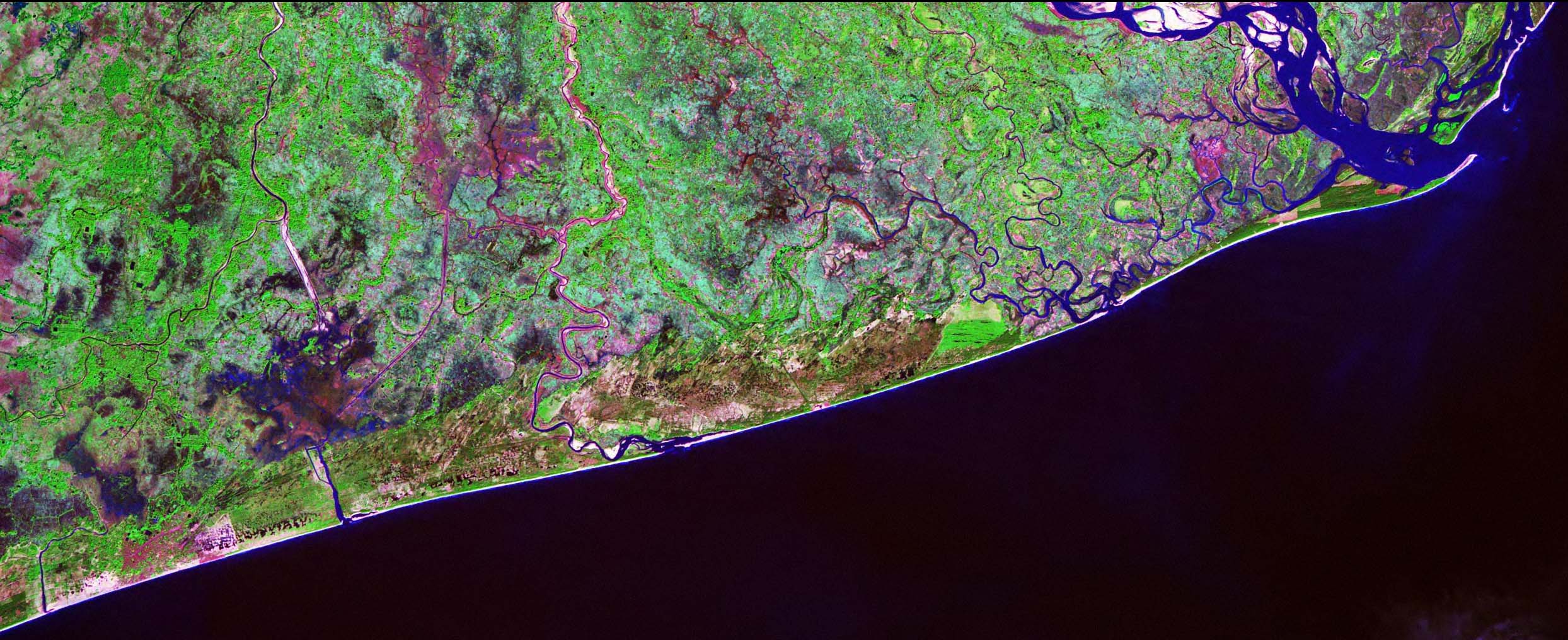
The area inside blinking red rectangle is shown below. The following image is compressed 4 times (2 x 2 in each side) to fit the viewing-browser. A link is provided below the image to get a bigger image (uncompressed JPG format.
The uncompressed image is about 387 Kb in size). The village of Kakatpur is annotated on the imagery in red (text in black).
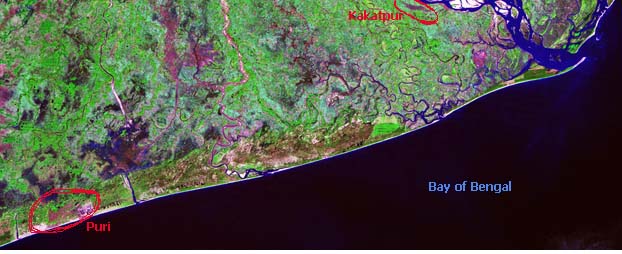
The area around Kakatpur village. North direction is towards top. [click for a larger image]
Upper Left Lat:20° 1' 51.5" N Long:85° 45' 33.8" E; Lower Right Lat:19° 46' 22.0" N Long:86° 26' 17.6" E Width:25km.
The image is compressed ~4 times. Please click here to get a larger uncompressed image.
The pixel size in the full-resoultion uncompressed image is about 28.5 mts x 28.5 mts.
Acknowledgements (related to the satellite image): The satellite image was extracted from data provided throught the "Landsat project" of NASA. The data is provided free-of-cost.
The use of this data is fully acknowledged here and is solely for non-commercial purposes (to provide the reader an idea about the location of the Ashram). The use (including display,
copying this image and demonstrating somewhere else, or whatever other purpose) of this image requires an acknowledgement to the original source (NASA Geocover Landsat project).
|